Map notes
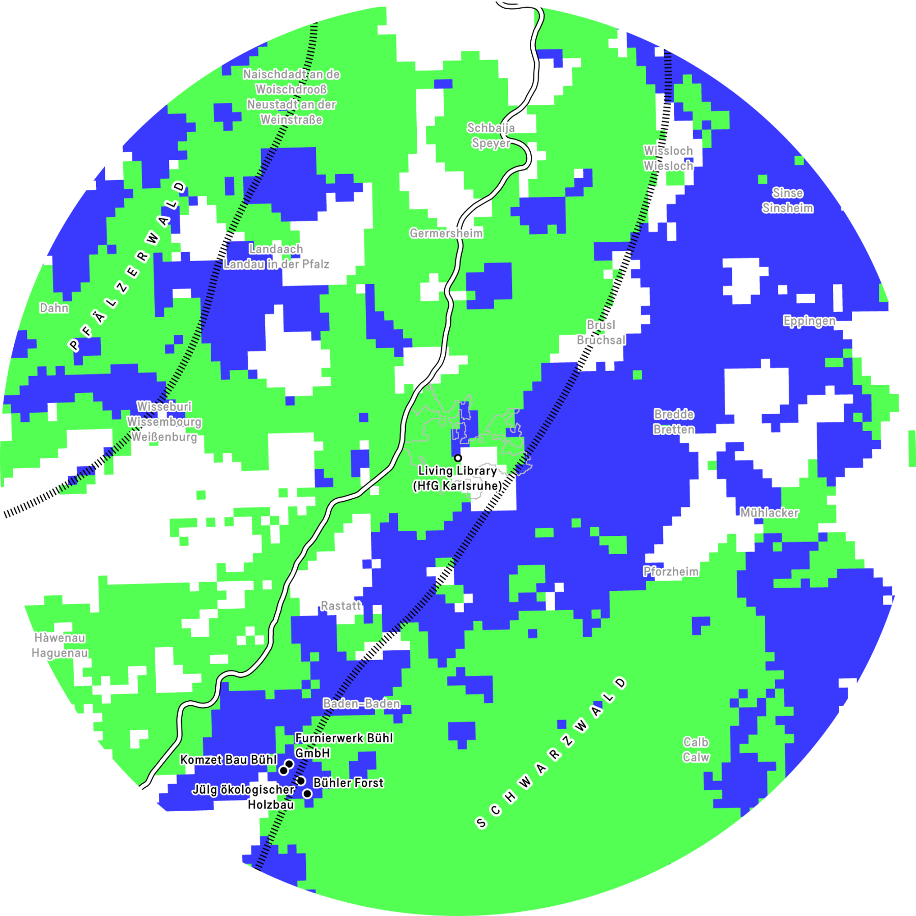
The pixelated pattern distinguishes two types of forest: areas in which broad-leaved trees are the dominant species (dark shading) and areas dominated by coniferous trees (light shading). Although this division is not absolute, it provides useful information about the wood available in each area: broad-leaved species generally produce hardwoods, whereas coniferous species yield softwoods. Places visited during the education programme ‘On extraction and resilience’ around the city of Bühl are shown on the map as solid dots.
Karlsruhe is surrounded by a diverse landscape of trees and forests. Around 137,000 street and park trees, primarily maples, hornbeams, oaks, limes and cherries, help to maintain a favourable urban climate in the city. 9 Due to climate change, new plantings are focusing more on climate-resistant ‚future tree species‘. he Hardtwald forest, located in the north-west, is characterised by fast-growing pines that were planted in sandy soil after the Thirty Years‘ War. To the south, the Oberwald forest boasts a diverse range of deciduous trees, including English oak and hornbeam. The Black Forest adjoins the city to the southeast. The spruce and fir trees currently growing there are monocultures that have been there since historical times and are now slowly being converted into climate-resilient mixed forests. To the west is the Pfälzerwald, which is Germany‘s largest contiguous forest area. Red beeches, pines, oaks, Douglas firs and firs are some of the native trees found there. The variety of species varies depending on the location.
The area around Karlsruhe thus displays a broad spectrum of coniferous and deciduous forests which have been shaped by history, the economy and ecology, and which are increasingly being converted into climate-resilient mixed forests.
Referenzen
- Brus, D. J., G. M. Hengeveld, D. J. J. Walvoort, et al. 2012. ‘Statistical Mapping of Tree Species over Europe’. European Journal of Forest Research 131 (1): 145–57. https://doi.org/10.1007/s10342-011-0513-5.
- European Forest Institute and Alterra / Wageningen University and Research Centre. n.d. ‘Forest Map of Europe’. Accessed 7 July 2025. https://efi.int/knowledge/maps/treespecies.
- Stadt Karlsruhe and Liegenschaftsamt. 2025. ‘Kalrsruhe Baumkataster’. Transparenzportal der Stadt Karlsruhe, January 3. https://transparenz.karlsruhe.de/dataset/fachplane-baumkataster1.